Springton Manor, Wallace PA…Sunday 7/22/12
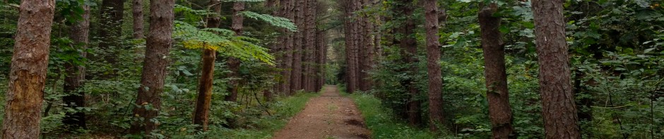
Mid 70s, high humidity. With my new birthday 3/4 running tights, and my new running waist pack to hold my iPhone uploaded with a new GPS app, I felt mostly ready for the day, while at the same time somewhat nervous to be moving up from Yellow to Orange…the start of “real orienteering.” To prepare, I had been doing a lot of “training” up in New England area, but with no controls to confirm my abilities. I had also spent a lot of time looking at the Springton map and remembering it from last year, making sure I could recognize features like – T – the hunter’s stand, and the brown triangle for a charcoal terrace (still haven’t seen one of those for real.) And looking at the Route Gadget from the orange course last year, imagining how I would do the course. What I didn’t do, and probably should have, was a lot more actual running to prepare for this day. Because the terrain was relatively easy, with basically one big hill, lots of roads/trails and open meadows, speed was important. And I don’t have a whole lot of that in the tank. However, I think I did okay, because I was always moving, jogging when I could, and walking fast the rest of the time. And I didn’t make too many mistakes.

Anyway, here’s the day in a nutshell. Hit the road with Pops, listening to inspirational music like “Witch of the Westmoreland,” by Stan Rogers. Go on, click on that song, it’s good. Registered, was warned of yellow jackets, did not freak out about that 🙂 Conferred briefly with Sandy about the clue sheet to make sure I understood everything, my only question was for #12, why would there be the ‘between’ symbol, and only have one boulder? Was among the first to get out there, a little after 10am. I listened to my Dad’s advice about going slow to the first control. Then got some jogging in after that. I really didn’t have any problems with any controls, it was SO awesome to actually have controls, and in a lot of cases I saw the controls before I saw the feature. The Routegadget is here, but my GPS app kind of failed me when I uploaded it and matched it against the map – it had me meandering back and forth across Indian Run, which I didn’t do. Still it’s fun to look at the altitudes and paces and stuff – so here’s the session data too.
My goal was to try to do the 4.2km in under an hour, and I achieved that and strangely, also came in first place. I say strangely because it looks like I would have been second place until the very end, when I somehow got to the last two controls much faster than other people. I don’t understand that, because 11 to 12 was the one long uphill, and I was basically walking the whole time. There was a choice to go “off trail” and I didn’t, maybe others did. And the last control, I think I got really lucky finding the path that on the map looked fairly large, but in actuality was no more than a deer path and quite hard to spot. I had been pace counting, and ‘felt’ that the trail should be there (exciting when that happens!). I tried my best to run it in on the last control and to the finish, and I know I’m not fast, but it was fast for me to have a cumulative pace of 13:25/km. According to my GPS, in reality I went 5.7km, so that’s even faster- 9:53/km plus the climb. I’m not sure what numbers I’m supposed to be focusing on here, but it sure is fun to have lots of numbers to play with. What’s even more fun is looking at the Splits.

All in all, it was a great feeling to have been so nervous about moving up to Orange, and then end up doing so well. I felt really good out there, always knew where I was on the map, and from an administrative standpoint did well looking ahead to the next control and refolding my map etc while in motion and in advance. I also had the extra clue sheet tucked into my waist band, so I didn’t have to keep unfolding the map to read it there : HUGE difference. I adjusted well to the 1:5000 scale. And I’ll say it again: having actual controls to spot in the woods was pure joy.
Finally, I have been very dedicated to improving myself and I think that’s paid off. However my dedication pales in comparison with that of a young Lithuanian fellow my Dad and I ran into on our way home, about 2 miles out from Springton, walking along the road with a backpack. We identified him immediately as a orienteer, and possibly lost. Turns out, he had taken a bus from A.C., a train from Philly to Downington, and had walked from Downington…just to get to the meet. And guess what course he’d be running?” The “longest one.” We turned around and gave him a lift the rest of the way.
